🗺️ Virtual Earth Grabber
There’s zero chance of this working nowadays! At the time there was a cat and mouse game going on with people selling licensed aerial photography.
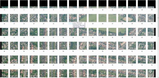
Microsoft Virtual Earth Bird’s Eye photography grabber.
Uses OpenStreetMap coordinates to define an area, downloads the satellite tiles from Virtual Earth, then stitches them together using a small C++ program built with the Irrlicht Engine.
Usage
- Go to www.openstreetmap.org and zoom in on the top left of the area you want
- Click the “permalink” button and copy the URL
- Edit
startLatandstartLonin grabber.py to match - Do the same for the bottom right (
endLatandendLon) - Run the Python script - images are downloaded and stitched automatically